Intelligent navigation solutions
Autonomous Navigation Solutions
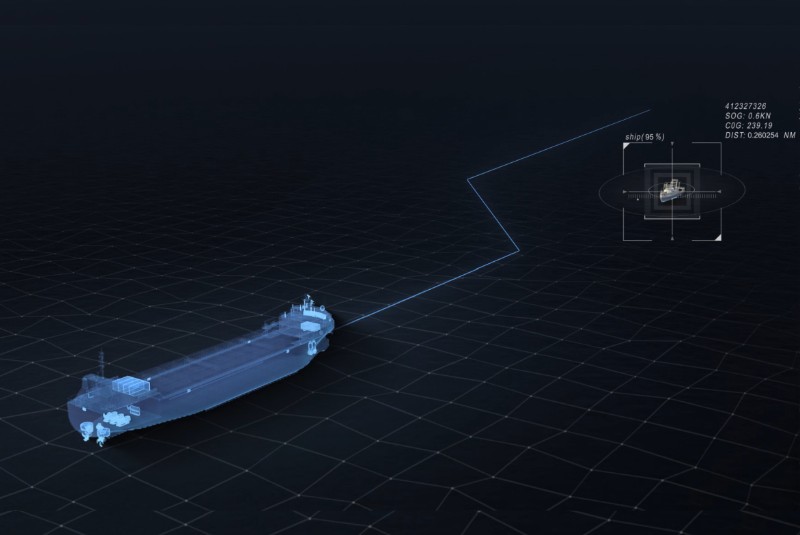
Navigation aid system
Based on data fusion three-dimensional situation reconstruction, integration of international collision avoidance rules and excellent seamanship, intelligent navigation and navigation suggestions are provided.
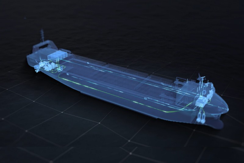
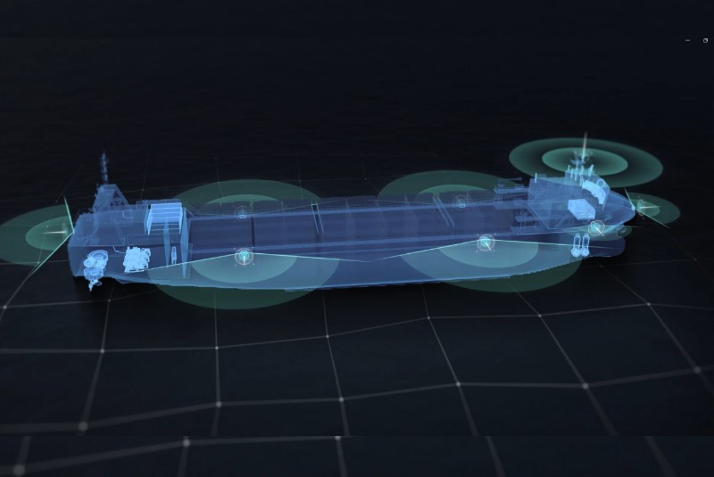
Autonomous navigation system
This is the first full-stack self-developed autonomous navigation system in China, which integrates functions such as automatic berthing, autonomous collision avoidance and autonomous tracking, and supports the reconstruction of the ship’s surrounding environment to realize the ship’s autonomous navigation.
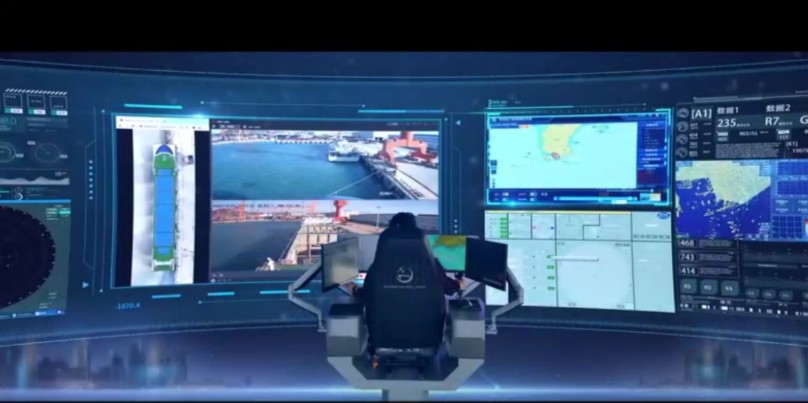
Remote driving system
Remote driving system based on multi-dimensional information perception and operation control center scheduling. It integrates real-time supervision, remote control, early warning and monitoring functions, and supports ship-shore linkage and human-computer interaction.
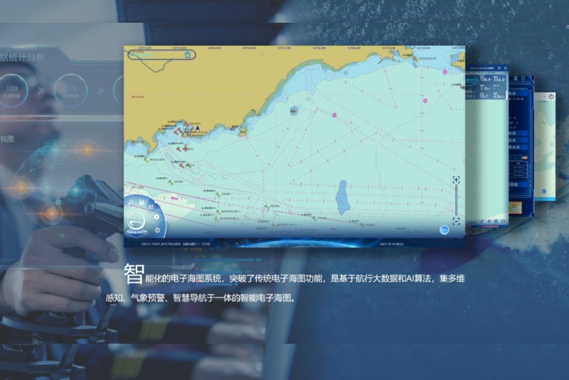
Intelligent electronic chart
Intelligent electronic chart is an intelligent electronic chart based on navigation big data and AI algorithm, which integrates multi-dimensional perception, weather warning and intelligent navigation. Support function free selection, coordinate custom editing, dual system secondary development. Traditional charts have been comprehensively upgraded to realize the reconstruction of maritime information situation.
Marine 360 Plus visual enhancement system
Marine 360Plus, based on AR&AI data fusion, provides an distortion-free display of the ship’s surroundings. It is a Marine intelligent visual aid system which integrates the functions of active blind spot auxiliary docking and disdocking, augmented reality and virtual reality reconstruction. Supports customized services.